Door NumberPlaces. People. Perspective.
Door Number recognises this address. No Unique Property Reference Number or detailed property record has been matched to it yet, so its energy certificate, sale history and UPRN are shown as unavailable below, honestly; area and postcode information that doesn't depend on that match is unaffected.
Coulsdon · CR5 2BA

Explore the neighbourhood around this address. Map data © OpenStreetMap contributors · tiles OpenFreeMap.

Property record

24a Brighton RoadCoulsdon, Surrey, CR5 2BA

Door Number recognises this address, but a Unique Property Reference Number has not yet been matched to this address, so no property record is available. The area and street context below still applies.

A deeper understanding of where home is.

Map data © OpenStreetMap contributors.

At a glance

Key information

A quick overview of this address, with essential details and useful context.

Postcode
CR5 2BA
Local authority
London Borough of Croydon
Property type
Not available
Floor area
Not available
EPC rating
Not available
Last recorded sale
None since 1995

Local authority resolved from ONS postcode geography. Surrey is the Royal Mail postal county, not the administrative authority.

Property details

Property record for 24a Brighton Road, Coulsdon

The official property and energy records for this address, side by side, with every source retained.

Property details

Property record

Key information about this address, sourced from official records.

UPRN
Not yet resolvedOrdnance Survey Open UPRN

No energy certificate is held for this property in Resi IQ.

Official recordResi IQchecked 21 September 2026

How we know this

Address recognised from Resi IQ's CR5 records; no UPRN has been resolved for it yet.

Property data served by Resi IQ, drawn from public records.

Energy performance

Energy performance

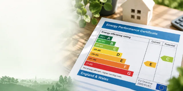
No current Energy Performance Certificate has been matched to this address.

Recorded facts

Sale history

No sale of 24a Brighton Road, Coulsdon has been matched in HM Land Registry Price Paid data since 1995.

Illustration of rolling green hills and trees

Planning and environment

Planning and flood risk near 24a Brighton Road, Coulsdon

Recent and nearby planning applications, plus the Environment Agency flood-zone position for this part of Coulsdon.

Official record · dataset-bounded

Planning designations

No conservation area, Article 4 direction or tree preservation zone covering the area around CR5 2BA is recorded on planning.data.gov.uk. That national dataset does not yet have complete coverage, so this is not confirmation that none applies.

Door Number shows planning designations, not an application history. For both and the definitive position, check the London Borough of Croydon planning register.

Official record · recent snapshot

Planning applications nearby

The 20 most recent of 84 planning applications recorded within approximately 150 m of the CR5 2BA postcode centre, from data last synced 2026-09-19.

  • Demolition of single storey rear extension, and erection of replacement single storey rear extension. Formation of retaining wall and garden access.26/02420/HSE · Application Under Consideration · 26 Aug 2026
  • T1 Copper Beech - 4 metre crown lift measured from same patio level as the shed. (TPO 14, 2002)26/01256/TRE · Approved · 12 Jun 2026
  • Variation of Condition 2 (Approved Drawings) of planning permission ref. 23/02480/HSE (Demolition of existing side garage and Erection of single storey front/side/rear extension…26/00049/CONR · Approved · 6 Mar 2026
Show 17 more applications within 150 m
  • Erection of a two storey side extension, single storey rear extension and rear dormer extension to accommodate the sub division of the existing dwelling house into three (3)…25/02391/FUL · Approved · 18 Mar 2026
  • Erection of single storey side extension (following removal of existing store/garage and)25/02672/LP · Approved · 30 Sept 2025
  • Discharge of condition 9 (Cycle and refuse storage) of planning permission 25/00937/CONR for: "Variation of condition 2 (approved drawings) pursuant to planning permission…25/00938/DISC · Approved · 3 Jul 2025
  • Change of use from single family dwellinghouse (Use Class C3) to 6 bedroom 6 person HMO (Use Class C4) with associated cycle and refuse provision, parking and installation of…25/00154/FUL · Application Under Consideration · 16 May 2025
  • Demolition of detached garage. Erection of single storey side/rear extension.25/00871/HSE · Approved · 21 May 2025
  • Variation of condition 2 (approved drawings) pursuant to planning permission 24/01002/FUL for 'Demolition of existing bungalow and erection of a pair of two-storey semi-detached…25/00937/CONR · Approved · 28 May 2025
  • Proposal for a single storey rear extension, extending 5m beyond the rear wall. Maximum height of 3m.25/00872/GPDO · Approved · 24 Apr 2025
  • Discharge of condition 8 (Biodiversity Enhancement Layout) of planning permission 24/01002/FUL for: "Demolition of existing bungalow and erection of a pair of two-storey…25/00753/DISC · Approved · 10 Apr 2025
  • Variation of condition 2 (approved drawings) pursuant to planning permission 24/01002/FUL for 'Demolition of existing bungalow and erection of a pair of two-storey semi-detached…25/00244/CONR · Refused · 11 Mar 2025
  • G2 - Sycamore Trees, remove one tree due to lack of light. (TPO 10, 2015)24/03935/TRE · Refused · 18 Dec 2024
  • Installation of a veranda/canopy on an existing deck at the rear of the detached property.24/03125/HSE · Approved · 23 Oct 2024
  • Discharge of conditions 3 (Construction Logistics Plan), 4 (SUDS), 5 (details), 6 (land levels) and 7 (landscaping) of planning permission 24/01002/FUL for: "Demolition of…24/03143/DISC · Approved · 30 Oct 2024
  • Alterations and erection of single storey rear extension and dormer extension on the rear roof slope and sub-division of the property to form two flats with associated parking and…24/02767/FUL · Refused · 25 Oct 2024
  • Erection of raised rear external deck with access to the garden24/02638/HSE · Refused · 19 Nov 2024
  • Erection of single storey rear extension projecting out 4.5 metres with a maximum height of 3.76 metres beneath. The proposed extension to match the materials of the current house.24/01947/GPDO · Approved · 16 Jul 2024
  • Erection of a hip to gable roof extension and rear dormer, including two rooflights to the front roofslope.24/01513/LP · Approved · 6 Jun 2024
  • T2 Dead Sycamore: Fell T3 Sycamore - 3 metre height reduction. (TPO 10, 2015)24/01448/TRE · Approved · 12 Jun 2024

A recent snapshot from the Planning London DataHub, not the live register. Search the definitive record on the London Borough of Croydon planning register.

Official record · rivers & sea only

Flood risk (planning)

The CR5 2BA postcode centre is not shown within Flood Zone 2 or 3 on the Environment Agency's Flood Map for Planning (Rivers and Sea). That map covers rivers and the sea only — not surface-water or groundwater flooding — so this is not a statement that the property is not at risk.

For a full picture including surface-water and groundwater risk, use the Environment Agency's long-term flood risk service for this postcode.

Official record · live warnings only

Flood warnings (live)

No Environment Agency flood warning or alert was in force within about 8 km of the CR5 2BA postcode centre at the last check. This is the live position only, not a statement about long-term flood risk. Results are measured from the CR5 2BA postcode centre because an exact property location has not been matched.

Named Environment Agency flood areas nearby

  • River Mole and its tributaries from Kinnersley Manor to South Hersham, including Sidlow, Leigh, Betchworth, Brockham, Pixham, Dorking, Mickleham, Leatherhead, Fetcham, Stoke D'Abernon and Cobham · River Mole
  • Areas at risk of groundwater flooding in the Caterham Bourne catchment including Caterham, Whyteleafe, Kenley, Purley, South Croydon, Beddington and Carshalton · Groundwater
  • Areas at risk from Groundwater flooding including Caterham Bourne, Coulsdon Bourne, Beddington, Carshalton, Coulsdon, Kenley, Purley, South Croydon, Whyteleafe, Bromley, Bexley, Lewisham, Greenwich, Epsom and Ewell. · Groundwater

This is not a flood-risk assessment. It shows only the Environment Agency's live warning position at the last check. For flood zones, historic flooding and surface-water risk use the EA's check for flooding and long-term flood risk services.

Sourcesplanning.data.gov.uk · Planning London DataHub (Greater London Authority) · Environment Agencychecked

How we know this

planning.data.gov.uk · Official record
Planning designations whose mapped boundary contains the coordinates of the CR5 2BA postcode centre, from the government's planning.data.gov.uk service. That service aggregates local-authority data and its coverage of some designations (Article 4, tree preservation) is still incomplete, so the absence of a designation here is not a guarantee that none applies — the London Borough of Croydon holds the definitive record. Results are measured from the CR5 2BA postcode centre because an exact property location has not been matched. Source

Planning London DataHub (Greater London Authority) · Official record
Planning applications recorded within 150 m of the CR5 2BA postcode centre in the Planning London DataHub (a Greater London Authority aggregation of the boroughs' registers), most recent first. This reflects the DataHub's last sync of Croydon's data, not the live register; the London Borough of Croydon's planning register is definitive. Results are measured from the CR5 2BA postcode centre because an exact property location has not been matched. Source

planning.data.gov.uk · Official record
The Environment Agency's Flood Map for Planning (Rivers and Sea), Flood Zones 2 and 3, from planning.data.gov.uk, tested against a small area around the coordinates of the CR5 2BA postcode centre. This map covers flooding from rivers and the sea only; it does not cover surface-water or groundwater flooding, and is not a property-level flood-risk report. Results are measured from the CR5 2BA postcode centre because an exact property location has not been matched. Source

Environment Agency · Official record
Flood warnings and alerts in force NOW, and the named flood areas, from the Environment Agency real-time flood-monitoring API. This is the live warning position at the last check only — it is not a long-term flood-risk assessment and says nothing about flood zones, historic flooding or surface-water risk. Source

Contains public sector information licensed under the Open Government Licence v3.0.

Contains planning application data from the Planning London DataHub, © Greater London Authority and the London boroughs, licensed under the Open Government Licence v3.0.

Contains Environment Agency information © Environment Agency and database right, licensed under the Open Government Licence v3.0.

A railway viaduct running through a leafy commuter town

Schools and transport

Schools and transport near 24a Brighton Road, Coulsdon CR5 2BA

Great connections

Nearby schools from the Department for Education register, plus the closest rail stations and bus stops.

Official record

Schools nearby

Open schools within about 2 km of the CR5 2BA postcode centre, nearest first — straight-line distances, not catchment areas. Results are measured from the CR5 2BA postcode centre because an exact property location has not been matched.

Show 7 more schools within 2 km
  • St Nicholas SchoolSpecial school · ages 4–11 · 0.6 miles awayDfE record · Ofsted
  • Oasis Academy ByronPrimary · ages 2–11 · 0.9 miles awayDfE record · Ofsted
  • Cumnor House SchoolIndependent · ages 4–11 · 0.9 miles awayDfE record · Ofsted
  • St David's SchoolIndependent · ages 3–11 · 0.9 miles awayDfE record · Ofsted
  • New Valley Primary SchoolPrimary · ages 4–11 · 1.0 miles awayDfE record · Ofsted
  • Abingdon House School PurleySpecial school · ages 10–17 · 1.1 miles awayDfE record · Ofsted
  • Smitham Primary SchoolPrimary · ages 3–11 · 1.1 miles awayDfE record · Ofsted

Official record

Nearest rail stations

Within 3.5 km of the CR5 2BA postcode centre, from NaPTAN, nearest first.

  • Coulsdon Town (Entrance)Railway station · 470 m away
  • Reedham Station (Entrance)Railway station · 860 m away
  • Coulsdon South (Entrance)Railway station · 0.7 miles away
Show 4 more stations
  • Woodmansterne Station (Entrance)Railway station · 1.0 miles away
  • Purley Station (Entrance)Railway station · 1.1 miles away
  • Kenley (Entrance)Railway station · 1.4 miles away
  • Riddlesdown (Entrance)Railway station · 1.5 miles away

Official record

Nearest bus stops

Within 500 m of the CR5 2BA postcode centre, from NaPTAN, nearest first.

  • Windermere Road (CR5) (Stop RM)Bus stop · 140 m away
  • Willow Court (Stop RK)Bus stop · 150 m away
  • Willow Court (Stop RA)Bus stop · 280 m away
Show 17 more bus stops
  • Stoats Nest Village (->N)Bus stop · 350 m away
  • Stoats Nest Village (->S)Bus stop · 390 m away
  • Warwick Road (->S)Bus stop · 400 m away
  • The Avenue Coulsdon (Stop A)Bus stop · 420 m away
  • Warwick Road (->N)Bus stop · 430 m away
  • Farthing Way (->N)Bus stop · 460 m away
  • The Avenue Coulsdon (Stop R)Bus stop · 480 m away
  • Coulsdon Town (Stop B)Bus stop · 480 m away
  • Bramley Avenue (Stop K)Bus stop · 510 m away
  • Coulsdon Town (Stop J)Bus stop · 610 m away
  • Bramley Avenue (Stop L)Bus stop · 670 m away
  • Chipstead Valley Rd / Brighton Rd (Stop H)Bus stop · 730 m away
  • Coulsdon Library (Stop C)Bus stop · 750 m away
  • Cearn Way (->N)Bus stop · 780 m away
  • Cearn Way (->S)Bus stop · 830 m away
  • Woodmansterne Road (->E)Bus stop · 840 m away
  • Coulsdon Library (Stop G)Bus stop · 840 m away

Schools from the Department for Education register · transport stops from NaPTAN.

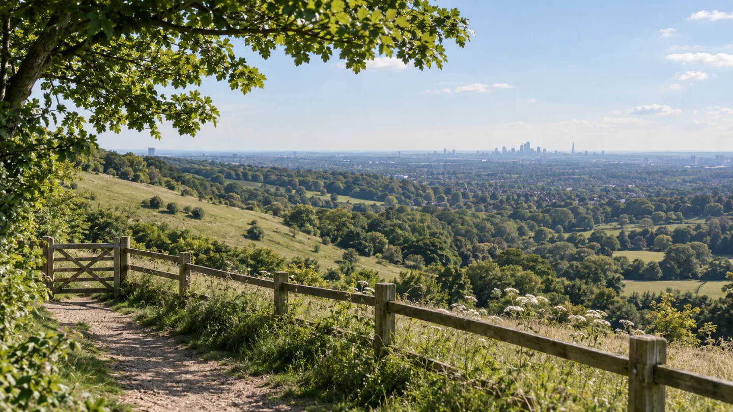
The countryside on the edge of Coulsdon, with the London skyline in the distance

The local area

A well-connected location in Coulsdon

Coulsdon is a town in south London, England, within the London Borough of Croydon. Coulsdon was an ancient parish in the county of Surrey that included the settlements of Purley and Kenley. It was merged with Sanderstead in 1915 to form the Coulsdon and Purley Urban District and has formed part of Greater London since 1965.

Explore the local area

Local character

Local character around 24a Brighton Road, Coulsdon

Census records, mapped local features and historical Ordnance Survey names provide a factual picture of the area surrounding the CR5 2BA postcode centre.

About the surrounding area, not the individual property or its occupants

Local housing profile

In the surrounding Census area, approximately 50.3% of households are owner occupied and 25.8% are privately rented. Flats, maisonettes or apartments are the most commonly recorded accommodation type.

  • Owner occupied 50.3%
  • Private rented 25.8%
  • Social rented 14.4%
  • Shared ownership & other 9.5%

Paths, green spaces and community life

95
mapped paths
24
tagged public footpaths
5
named walking routes
41
community facilities

Mapped outdoor access

  • London Loop Diversion · about 850 m away
  • Happy Valley & Farthing Downs Nature Trail · about 2.2 km away
  • Sutton Countryside Walk · about 2.4 km away
  • London LOOP (Section 6) · about 2.9 km away
  • 24 paths tagged in OpenStreetMap as a public footpath
  • 1 allotment site
  • 2 playgrounds
  • 30 sports or recreation facilities

Community facilities

  • 1 library
  • 1 post office
  • 6 community centres
  • 1 allotment site

OpenStreetMap records these mapped routes and facilities within the surrounding search area. Path status is shown as tagged in OpenStreetMap; for the legal position on rights of way, check the local authority’s Definitive Map.

1,119
households in the area
50.3%
owner occupied
95
mapped paths nearby
24
tagged public footpaths
12
historical names within 1 km

This area around 1900

Ordnance Survey mapping transcribed by the GB1900 project records these names around the area on maps published between 1888 and 1914.

  1. Stoatsnest Farmabout 170 m awaywithin 250 m
  2. Brighton Roadabout 200 m awaywithin 250 m
  3. Stoatsnest Station (Goods)about 220 m awaywithin 250 m
  4. Coulsdon Cottageabout 290 m awaywithin 500 m
  5. Hartley Farmabout 600 m awaywithin 1 km
  6. Hartley Old Roadabout 670 m awaywithin 1 km
  7. Scrub Shawabout 830 m awaywithin 1 km
  8. Lion Greenabout 830 m awaywithin 1 km
  9. Smithambottom Laneabout 880 m awaywithin 1 km
  10. Piper's Bushesabout 900 m awaywithin 1 km
  11. Little Stonyfield Shawabout 900 m awaywithin 1 km
  12. Reedham Orphanage (boys & girls)about 930 m awaywithin 1 km

Explore the history of Coulsdon

SourcesCensus 2021, Office for National Statistics · OpenStreetMap contributors · GB1900 Gazetteer (Abridged)checked

How we know this

Census 2021, Office for National Statistics · Derived statistic
Household counts from Census 2021 tables TS054 (tenure) and TS044 (accommodation type) for this Lower-layer Super Output Area, retrieved from Nomis. Percentages are calculated by Door Number as the count divided by the table total, rounded to one decimal place. These figures describe the surrounding Census area of roughly 1,000–1,200 households and are not a statement about this individual property. Source

OpenStreetMap contributors · Community-sourced (discovery)
Counts of mapped paths (highway=footway/path/track/bridleway) within 900 m, named walking routes within 2500 m, and community facilities within 1200 m of the CR5 2BA postcode centre, from OpenStreetMap — a community-maintained dataset used here for discovery. Distances are straight-line radii, not walking routes. A path tagged as a public footpath in OpenStreetMap is not the same as a right of way on the local authority's Definitive Map. Results are measured from the CR5 2BA postcode centre because an exact property location has not been matched. Source

GB1900 Gazetteer (Abridged) · Community-sourced (discovery)
Names lettered on Ordnance Survey County Series maps published between 1888 and 1914, transcribed by the GB1900 volunteer project and filtered here to a Coulsdon / CR5 regional subset. Distances are straight-line and approximate; spellings are as transcribed. A name appearing on the map is not evidence that the feature is a building or that it still exists. Source

Census 2021, Office for National Statistics: recorded 21 March 2021 · GB1900 Gazetteer (Abridged): recorded 6 July 2018.

Census 2021 data from the Office for National Statistics, via Nomis. Contains National Statistics data © Crown copyright and database right. Licensed under the Open Government Licence v3.0.

© OpenStreetMap contributors, licensed under the Open Database Licence.

Historical map names from the GB1900 Gazetteer (Abridged), transcribed from Ordnance Survey County Series maps by volunteers. © Great Britain Historical GIS Project, University of Portsmouth, and the GB1900 partners and volunteers. Licensed under CC BY-SA 4.0.

Woodland and open hills on the edge of Coulsdon

Life around the CR5 2BA postcode centre

Parks, amenities and heritage around 24a Brighton Road

Green space, everyday amenities and listed buildings recorded near the CR5 2BA postcode centre, from OpenStreetMap and Historic England.

Community-sourced · discovery

Amenities nearby

Everyday amenities recorded in OpenStreetMap within about 800 m of the CR5 2BA postcode centre — an indicative count, not a directory. Results are measured from the CR5 2BA postcode centre because an exact property location has not been matched.

Everyday shops
5 within 800 m · nearest: Choice Food & Wine (440 m)
Food & drink
32 within 800 m · nearest: Pizza Hut Delivery (410 m)
Health
9 within 800 m · nearest: Ivory Dental (10 m)
Community
5 within 800 m · nearest: The Vale Gospel Hall (230 m)

Community-sourced · discovery

Parks & green space

Named green space within about 1.5 km of the CR5 2BA postcode centre, nearest first. Results are measured from the CR5 2BA postcode centre because an exact property location has not been matched.

  • Woodcote Village Green · Park · 0.6 miles away
  • Coulsdon Memorial Ground · Park · 0.7 miles away
  • Bleakfield Shaw · Park · 0.8 miles away
Show 6 more green spaces within 1.5 km
  • The Glade · Park · 0.8 miles away
  • Foxley Wood · Woodland · 0.8 miles away
  • Sherwood Oaks Field · Green space · 0.9 miles away
  • In Wood · Woodland · 1.1 miles away
  • Farthing Downs Tree Belt · Woodland · 1.3 miles away
  • Farthing Downs · Park · 1.3 miles away

Dog-walking rules vary by site — check local signage.

Official record

Heritage nearby

Designated heritage assets within about 600 m of the CR5 2BA postcode centre, nearest first. Results are measured from the CR5 2BA postcode centre because an exact property location has not been matched.

  • Coulsdon Methodist ChurchGrade II · Listed building · 300 m awayHistoric England entry
  • Milestone 13, On The Southeast Side Of Brighton Road (A23) By Milestone DriveGrade II · Listed building · 410 m awayHistoric England entry

Amenities and green space from OpenStreetMap contributors · heritage from Historic England.

Nearby addresses

Other addresses on Brighton Road, Coulsdon

Explore nearby addresses on the same road to see how this area fits together — links to their Door Number pages, not a comparison of value.

View more on Brighton Road
A tree-lined street of period townhouses

Explore further

Search another address

Search an address in the current coverage area to explore its recorded property facts, street context and area information.

A deeper understanding
of where home is.